


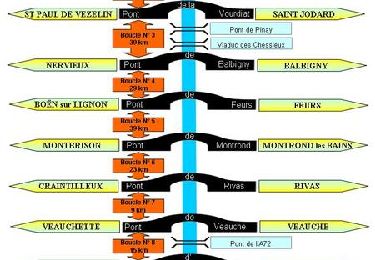
342 km | 442 km-effort

User


FREE GPS app for hiking
 SityTrail
IGN / Geographical institutes
SityTrail World
The world is yours!
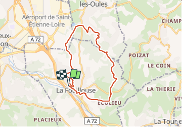
Trail Walking of 14.6 km to be discovered at Auvergne-Rhône-Alpes, Loire, La Fouillouse. This trail is proposed by dudu42.
Un peu de bitume au début puis chemins de terre. Quelques points de vue et a partir de mi-parcours superbe traversée de bois au couleurs d'automne.


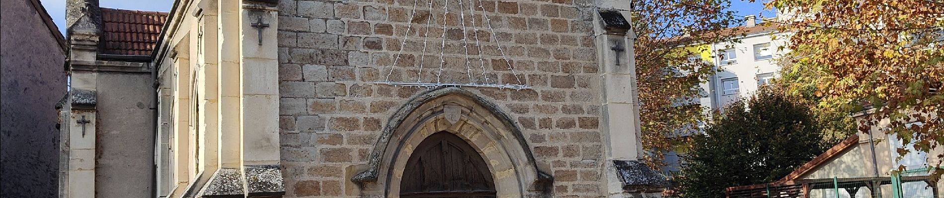
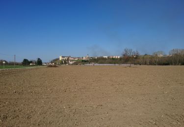
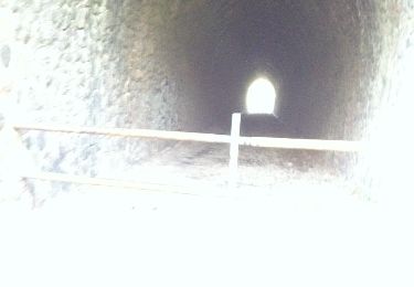
28 photos in total. Please click on a photo to see them all in the gallery.

Motor

Mountain bike
Walking
Walking
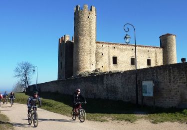
Mountain bike

Mountain bike
Mountain bike
Mountain bike
Mountain bike